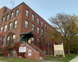
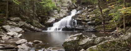
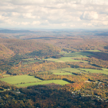
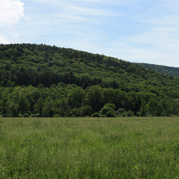
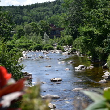
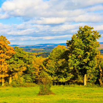
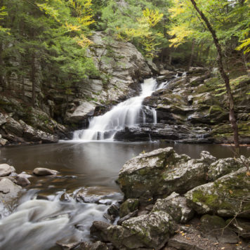
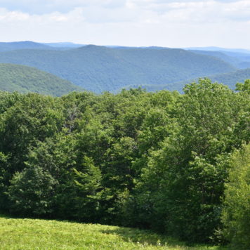
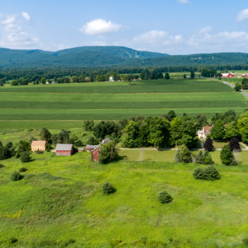
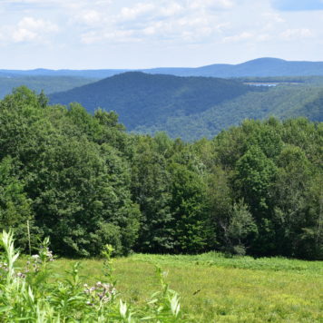
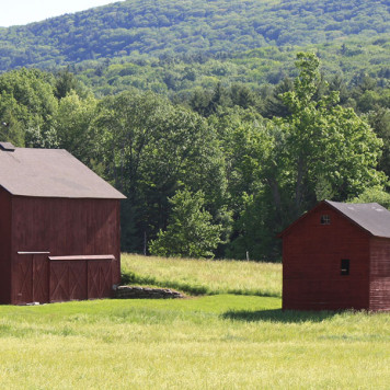
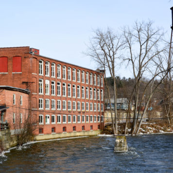
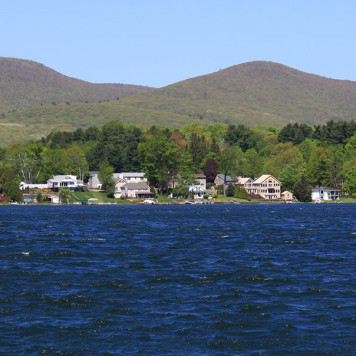
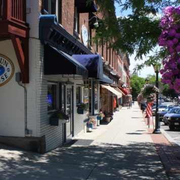
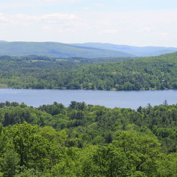
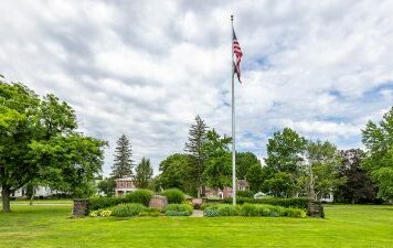
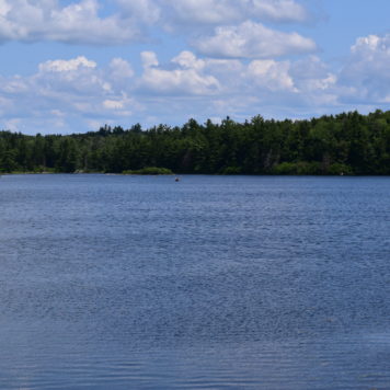
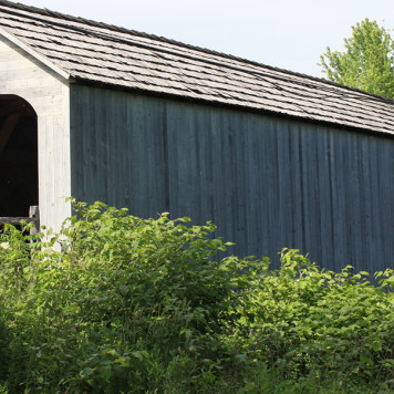
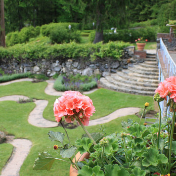
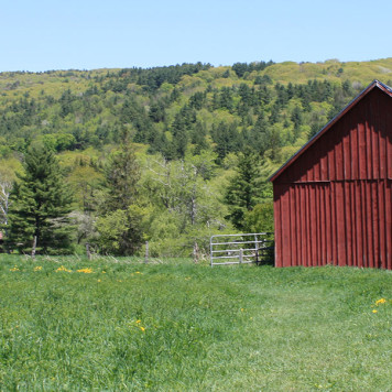
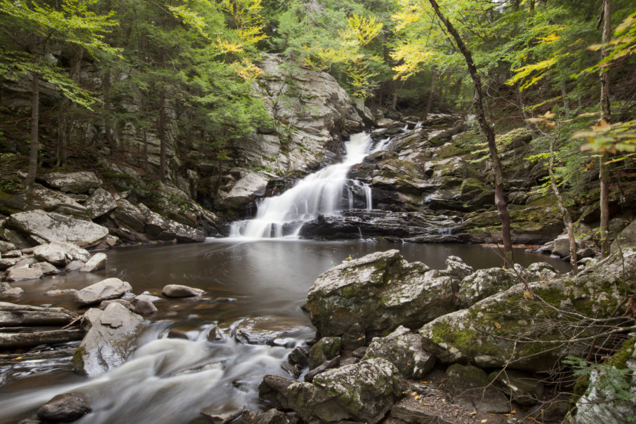
The Berkshire County town of Dalton, with a population of about 6,756 residents, evolved from primarily a mill town at the time of its settlement in 1755, with the east branch of the Housatonic River boasting thriving mills. Farming, too, was a big part of the community’s roots, and Dalton shares both urban and rural roots. The town, named at the time of its incorporation in 1784 after Tristram Dalton, speaker of the Massachusetts House of Representatives, was especially known as one of the early producers of banknote paper and today is home to Crane & Co., which specializes in paper products and is the primary supplier for the Federal Reserve Note. Throughout Dalton’s 21.9 square mile area are beautifully preserved historic buildings, lush parks, mountain views and acres of natural resources. The town’s southern area is dominated by the peak of Tully Mountain, and the community’s center of population is situated around the valley of the Housatonic River’s east branch. The town is bordered by Cheshire to the north, Windsor to the Northeast, Washington to the south, Hinsdale to the east and Landsborough and Pittsfield to the west. The area is rich in educational options. Dalton belongs to the Central Berkshire Regional School District, and Saint Agnes Academy, a parochial school, is located in town. In addition, neighboring Pittsfield is home to several private and parochial schools as well as Berkshire Community College. Dalton’s closest interstate is the Massachusetts Turnpike, I-90, and Amtrak’s Lake Shore Limited has a station stop in Pittsfield.
The Berkshire County town of Dalton, with a population of about 6,756 residents, evolved from primarily a mill town at the time of its settlement in 1755, with the east branch of the Housatonic River boasting thriving mills. Farming, too, was a big part of the community’s roots, and Dalton shares both urban and rural roots. The town, named at the time of its incorporation in 1784 after Tristram Dalton, speaker of the Massachusetts House of Representatives, was especially known as one of the early producers of banknote paper and today is home to Crane & Co., which specializes in paper products and is the primary supplier for the Federal Reserve Note. Throughout Dalton’s 21.9 square mile area are beautifully preserved historic buildings, lush parks, mountain views and acres of natural resources. The town’s southern area is dominated by the peak of Tully Mountain, and the community’s center of population is situated around the valley of the Housatonic River’s east branch. The town is bordered by Cheshire to the north, Windsor to the Northeast, Washington to the south, Hinsdale to the east and Landsborough and Pittsfield to the west. The area is rich in educational options. Dalton belongs to the Central Berkshire Regional School District, and Saint Agnes Academy, a parochial school, is located in town. In addition, neighboring Pittsfield is home to several private and parochial schools as well as Berkshire Community College. Dalton’s closest interstate is the Massachusetts Turnpike, I-90, and Amtrak’s Lake Shore Limited has a station stop in Pittsfield.
The Berkshire County town of Dalton, with a population of about 6,756 residents, evolved from primarily a mill town at the time of its settlement in 1755, with the east branch of the Housatonic River boasting thriving mills. Farming, too, was a big part of the community’s roots, and Dalton shares both urban and rural roots. The town, named at the time of its incorporation in 1784 after Tristram Dalton, speaker of the Massachusetts House of Representatives, was especially known as one of the early producers of banknote paper and today is home to Crane & Co., which specializes in paper products and is the primary supplier for the Federal Reserve Note. Throughout Dalton’s 21.9 square mile area are beautifully preserved historic buildings, lush parks, mountain views and acres of natural resources. The town’s southern area is dominated by the peak of Tully Mountain, and the community’s center of population is situated around the valley of the Housatonic River’s east branch. The town is bordered by Cheshire to the north, Windsor to the Northeast, Washington to the south, Hinsdale to the east and Landsborough and Pittsfield to the west. The area is rich in educational options. Dalton belongs to the Central Berkshire Regional School District, and Saint Agnes Academy, a parochial school, is located in town. In addition, neighboring Pittsfield is home to several private and parochial schools as well as Berkshire Community College. Dalton’s closest interstate is the Massachusetts Turnpike, I-90, and Amtrak’s Lake Shore Limited has a station stop in Pittsfield.
